By Ward Swann, Yadkin River State Trail Coordinator
Signs, Signs everywhere Signs… Well, maybe not EVERYWHERE
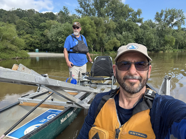
The Tire Puller quietly hums upstream through the thick air of an August late afternoon. I’m asking a lot from the little trolling motor to push two canoes with a sign, a U channel post, a post setter, and two people upstream 2.12 miles on the Yadkin River. We are looking for a specific spot on the Davidson County side to put Mile Marker 39. It’s Cube Hydro owned land, and this will be the third sign we are putting up with their permission today. Focused on the task at hand and evaluating the riverbank for opportunities to put up a sign, we were not paying attention to the lengthening shadows or the time.
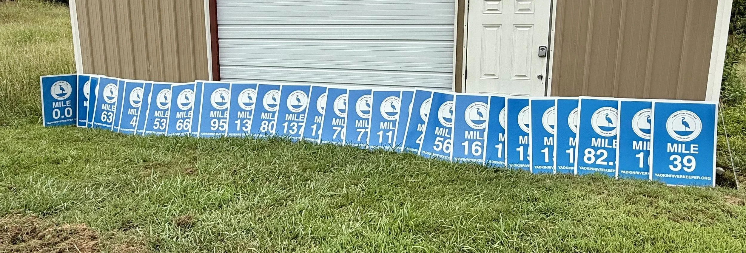
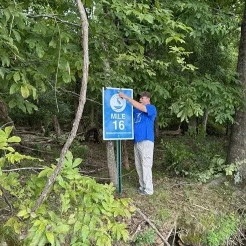
The day started when we met at 8am at the shed where the signs and boats are kept and drove to the Newsome access managed by Cube Hydro. We followed “fish’n trails” through the woods until we needed to follow a GPS line to the location on the shore of Tuckertown Reservoir. After a little clearing activity, we planted a post and attached Mile Marker 16. “Ha!” we thought as we sampled some wild muscadine on the way back to the truck, “this is easy!”
That was a lie.
The Mile Marker initiative is meant to allow river goers of any type of vessel better awareness of where they are on the river. It will be useful for folks to reference when calling for help. At the moment, most of the Mile Marker signs are in waters adjacent to Yadkin County. They were the early supporters of the program. The most recent grant from the State of North Carolina has made it so Mile Markers can go up in any more places along the river. The Yadkin won’t have a marker every mile, but one every third mile, maybe. The database for these signs will be shared with EMS and be put on the base maps that EMS uses to organize search and rescue. This day we were putting up all the signs that Cube Hydro has given permission to put up.
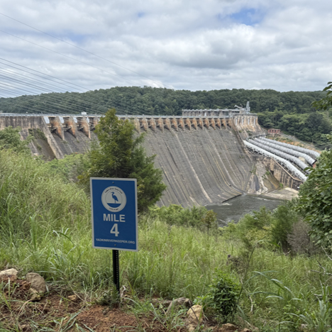
The next Mile Marker was meant to go somewhere along the Portage Trail at the Narrows Dam. I was hoping to put it up at the water’s edge and make a nice picture with the dam in the background. We picked up the path of orange blazes that marked the portage trail to the water. It’s set to be improved in the near future, but for now it's little more than a goat path strewn with the bones of deer. After lugging the supplies down to the water’s edge, we determined that the only part of the shoreline that wasn’t solid rock, was concrete. We lost a lot of time trying to make something work so that we wouldn’t have to carry it all back up the hill. Failing, we climb back up the goat path still loaded with our sign. Once we were back at the vehicle, we went to the top of the portage and found a spot for Mile Marker 4 along the Portage Trail that overlooks the Dam. We were told later that the Badin locals nickname for the Narrows dam is “#7” referring to how the dam looks from the previously open overlook (and popular spot for teenagers). Now these woods are tightly controlled by Cube Hydro and the State of North Carolina. The only way the public can visit this area without special permission is on the portage trail.
While in the neighborhood, John and I took some Mile Marker signs to Morrow Mountain State Park. Two Mile Marker 0.0 signs will signify the end of the Trail. One will face the lake to pull paddlers to the destination they’ve been chasing (possibly 162 miles and around 6 dams); the other will face the parking lot to provide an end of trail photo op and encourage interest in paddling the trail. Letting the Park put up the signs will ensure they are in the spot for the best management of the park.
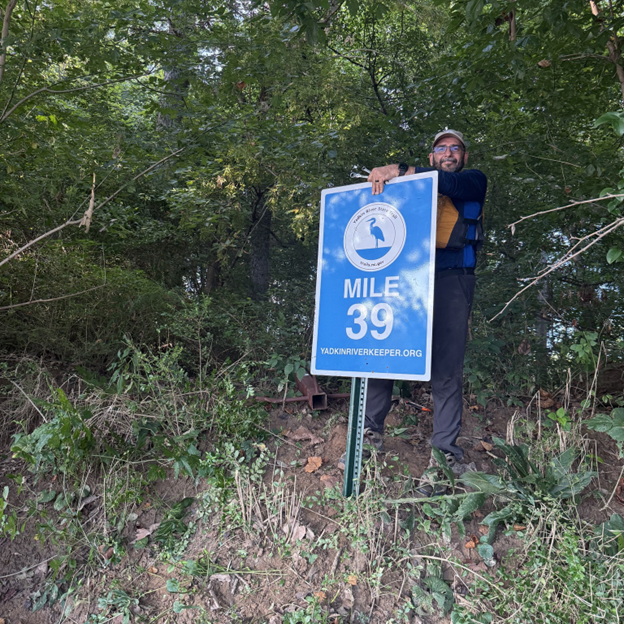
Heading back home, we stopped at York Hill/Yadkin River Park and put together the Tire Puller. This is when we started motoring upstream. As we neared our destination, River Cane, often confused with Bamboo, choked the bank we were looking to put the Mile Marker on. We felt lucky when we found a spot that needed just a little clearing to be the new home to Mile Marker #39. Neither of us realized how late it was getting until my wife called to ask if I was on my way home. We hurriedly got the sign in the ground and headed back to the van. The sun was setting, and it was about 8p when we were settling into our seats to go to the best Mexican Restaurant in Spencer, Queso Salsa
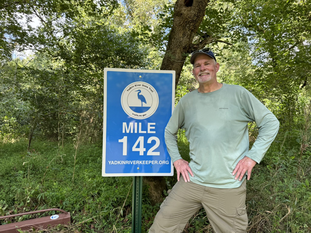
To bring awareness to Mile Markers, I welcome/encourage selfies with the signs when you see one “in the wild.” Tag @YadkinRiverStateTrail with your “Sign Selfie” so we can see your smiles.
