By Nicole Eastman, Riverkeeper Assistant and Watershed Protection Specialist
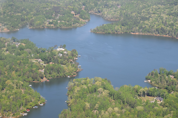
Kerr Scott Lake, a reservoir in Wilkes County where we conduct Swim Guide sampling with Friends of Kerr Scott Lake.
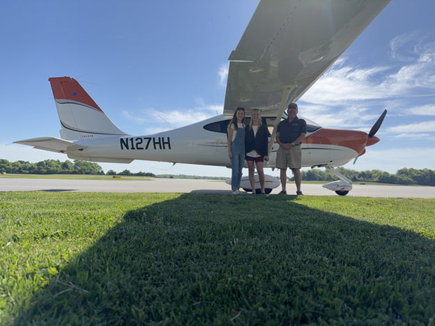
On April 16, Holliday Obrecht III, a volunteer pilot with SouthWings, took Nicole and Stephanie in his plane to monitor the sedimentation problem in Big Elkin Creek, the poultry houses in the upper watershed, and land application sites near Roaring River and Ronda. It was a clear and sunny day, making for a perfect flight out of Wilkes County Airport!
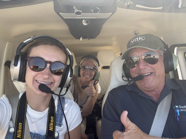
A quick selfie with our great pilot, Holliday Obrecht III.
First, we flew down Big Elkin Creek to the confluence of the Yadkin River. Many people are familiar with the turbidity issue on Big Elkin Creek and can share stories of the creek running orange from the clay leaving tobacco farms upstream of Elkin. With the drought, we could not document the turbidity problem well in Big Elkin Creek, but we did take photos of the tilled farmland and areas lacking buffers. Buffers provide important environmental services to our waterways; the trees and vegetation help keep soil in place and filter runoff leaving the site. This results in a less turbid and polluted creek. Unfortunately, many farms still do not grow native buffers and use tillage all the way to the creek as seen in the pictures below.
Some areas of Big Elkin Creek lack a buffer.
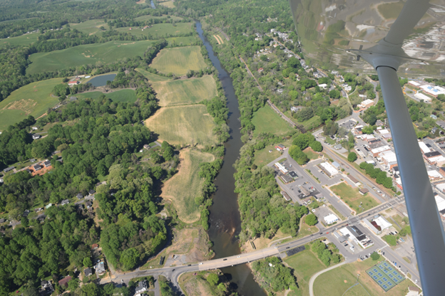
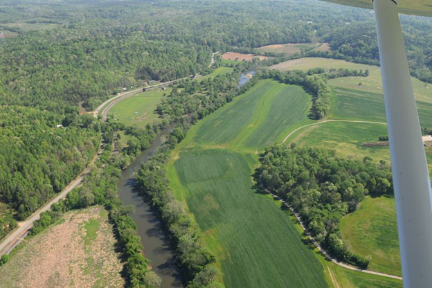
The Yadkin River through Elkin. Big Elkin Creek meets the Yadkin River in the center of the photo. Crater Park is located at the bottom right corner of this picture.
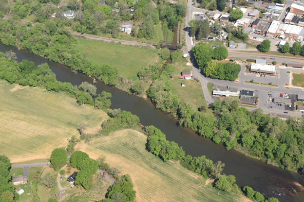
The confluence of Big Elkin Creek and the Yadkin River. There is a slight color difference between the two waterbodies representing the higher turbidity in Big Elkin Creek.
Poultry concentrated animal feeding operations (CAFOs) are not permitted under North Carolina’s CAFO general permits making these flights an important way to count and monitor the poultry houses in our watershed. We flew along the Yadkin River all the way to Happy Valley to count an estimated number of CAFOs. In Wilkes and Surry counties, we counted 140 poultry houses at 30 farms demonstrating the large distribution of poultry farms in this part of our watershed. We also flew over one cattle CAFO and one hog CAFO in Wilkes County. In Caldwell County, we counted 60 poultry houses on 15 farms. We noticed an improvement in the number of poultry farms with covered litter piles. NC regulations require poultry litter to be covered within 15 days to prevent significant runoff into the rivers and streams in our state.
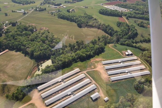
Several new poultry houses with covered litter piles in Wilkes County.
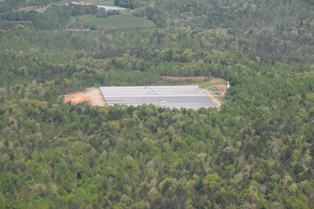
Poultry houses without a visible designated shed for poultry litter.
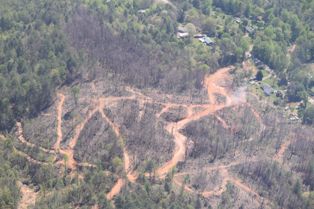
A clear-cut in Caldwell County.
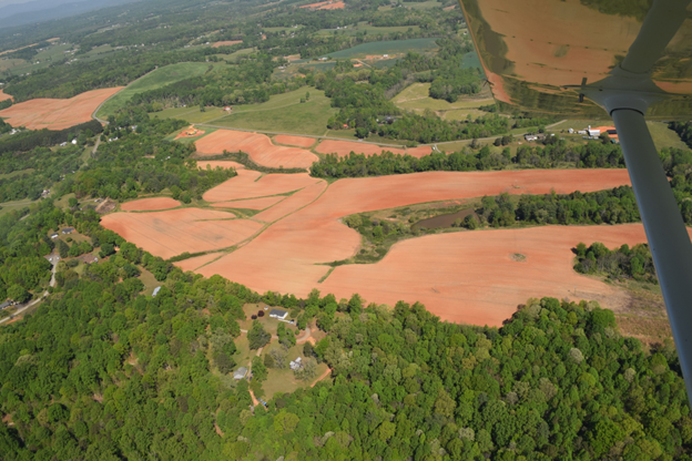
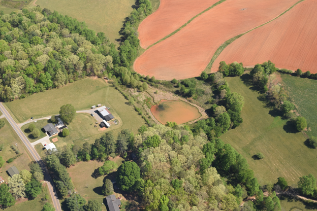
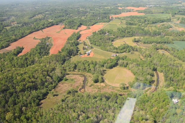
After YRK’s Swim Guide season last year, we noticed significant “hotspots” with high E. coli levels at Roaring River and Ronda. These river accesses are located near land application sites, permitted areas where treated sewage sludge (biosolids) or treated wastewater from municipal wastewater treatment plants and animal rendering plants are applied to fields. There are several clusters of land application sites along the Yadkin River and smaller tributaries between Roaring River and Elkin. We flew over these sites to look for signs of stored piles of sludge and application.
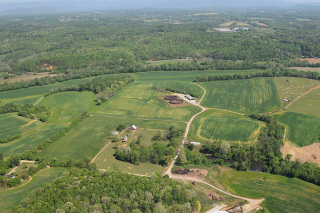
These bright green fields are land application sites. They receive wastewater and sludge from animal rendering facilities and wastewater treatment plants.
Land application sites right next to the Yadkin River.
We want to send a big thank you to SouthWings, a nonprofit organization that connects conservation organizations with volunteer pilots, and Holliday Obrecht III for giving us the opportunity to gain an aerial view of our watershed and monitor land activities that may impact water quality in the Yadkin River! For more information about the flight, please reach out to Nicole at nicole@yadkinriverkeeper.org.